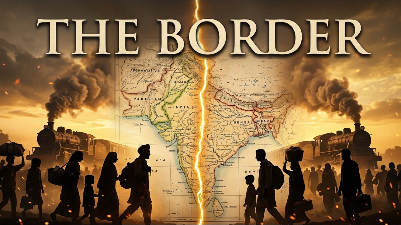
A Line on a Map That Split a Subcontinent
A Line on a Map That Split a Subcontinent explores how one drawn border set off one of history’s largest and most violent population movements. Before British rule, South Asia’s mountain-and-ocean boundaries helped produce a dense mix of peoples, languages and cultures, from the Aryans and the Maurya Empire through the Delhi Sultanate to the Mughals. British colonial control, however, used divide-and-rule tactics that sharpened religious divisions. In 1947 a rushed boundary was drawn by a lawyer who had never visited India, and the result was upheaval, a vast refugee crisis and a lasting India - Pakistan rivalry. The video traces South Asia’s geopolitical constraints, the rigid roots of the caste system, the coming of Islam, the damage left by colonialism and the human cost of partition, whose consequences are still felt. It comes from Echoes of Empires History, a channel about civilizations, forgotten peoples, warriors, ancient kingdoms and events that shaped the world. Topics include Indian history, British India, the 1947 partition, the Radcliffe Line, the Mughal Empire, the Delhi Sultanate, Pakistan’s history, ancient India and world history.
Questions this video answers
Log in to generate a FAQ for this video. It is free, and it keeps the bots out.
This video is managed by its uploader
Is this your video?
This video is managed by its uploader. If you are the rightful owner, write to video@taplic.com and we will look into it.
Comments 1
Join the discussion. Create a free account or log in to comment and vote. It takes a few seconds, and it is free.